
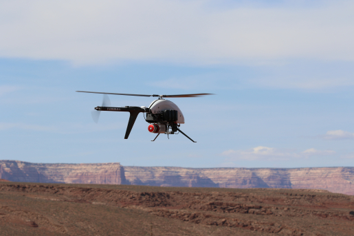
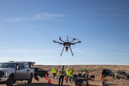
A drone flies over the Mexican Hat, Utah Disposal site, Spring 2022
Department of Energy Office of Legacy Management
July 23, 2026
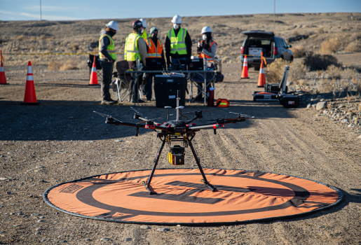
The U.S. Department of Energy (DOE) Office of Legacy Management (LM) Aviation Program supports LM’s long-term stewardship mission to protect human health and the environment at sites across the Nation. The Aviation Program’s purpose is to ensure the safety, efficiency, and effectiveness of its aviation operations. DOE, LM, and the Legacy Management Strategic Partners and its contractors execute and oversee aerial surveys, using manned aircraft and small uncrewed aircraft systems (UAS) at disposal sites across the United States. For more information about the Aviation Program, view the brochure.
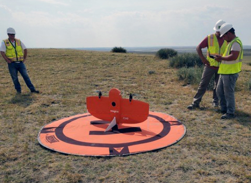
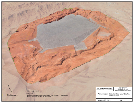
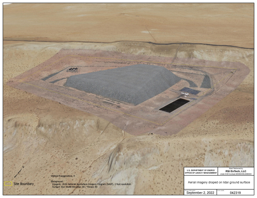
The primary focus of the Aviation Program is to use small UAS, or drones, to conduct surveys that collect aerial photographs and light detection and ranging data. LM uses this aerial survey data to monitor topographical information at sites with a high level of accuracy. Scientists and data managers also use the data to develop 3D-spatial models and conduct change analysis, which helps detect potential issues in disposal site conditions. LM can then remedy those issues before they become costly to fix or result in potential regulatory noncompliance. These activities support LM’s long-term stewardship mission and help protect human health and the environment. The drones launch from and land on the disposal sites.
Q: What is an Aerial Survey?
A: An aerial survey is a method of collecting data and other imagery with aircraft. While ground-based surveyors carry equipment to take photos, measure elevations, or collect other information, aerial surveying uses specialized sensors on aircraft to collect precise survey data. DOE uses drones to conduct aerial surveys.Q: What is a small drone?
A: A small UAS (or drone) weighs less than 55 pounds, including everything on board or otherwise attached to the aircraft, and can be flown without the possibility of direct human intervention from within or on the aircraft. An FAA-certified remote pilot flies the drone.Q: Why will the DOE fly a small drone?
A: The drone has equipment that captures high-quality images and data from a viewpoint that cannot be captured at ground level. Aerial surveys of disposal sites will help DOE ensure that the site stays in good condition.Q: How is my privacy respected if the drone flies near my property?
A: DOE has a very strict privacy rule, which the drone pilot must follow. The intent of aerial surveying is to collect precise imagery of the disposal site. DOE prohibits intentional aerial imaging of private citizens using a drone. DOE plans the drone flight trajectories to prevent any inadvertent photographing of persons or property during any aerial survey missions.To learn more about the LM disposal sites (where LM conducts aerial surveys), visit: www.energy.gov/lm/lm-sites