
Map content from NNSA's Aerial Measuring System (AMS), which measures background radiation.
National Nuclear Security Administration
September 28, 2017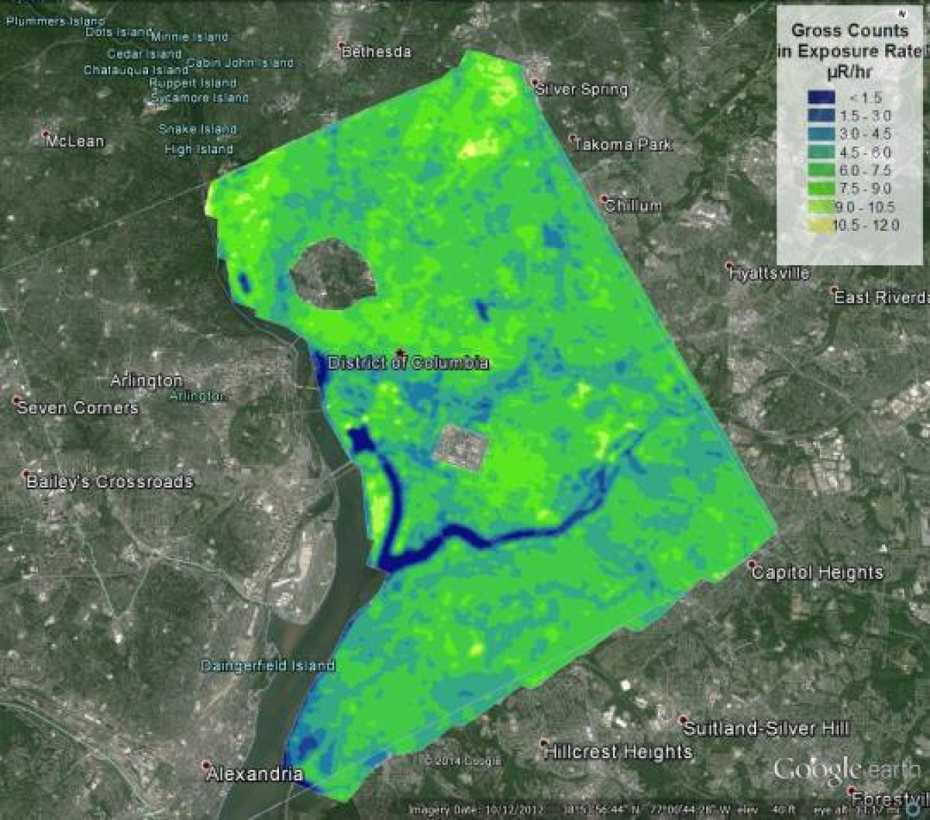
A 2013 background radiation map of Washington, DC, created by AMS.

Aerial Measuring System (AMS)
Click to learn how AMS measures air and ground radiation in a specific area.
NNSA's Aerial Measuring System (AMS) has specialized airborne radiation detection systems to provide real-time measurements of low levels of air and ground contamination.
The files below explain the map in more detail.