The world is witnessing a preponderance of drone technology. From military and retail applications to industrial and even civilian drone use, recent events have showcased the rapid advance of drone technology.
October 5, 2026 Estimated Read Time min
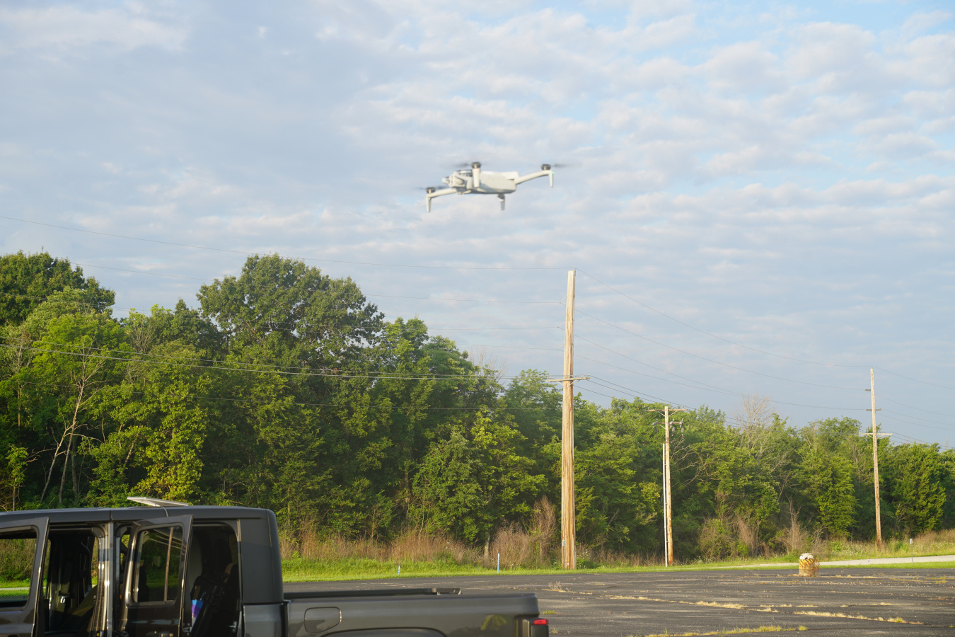
The world is witnessing a preponderance of drone technology. From military and retail applications to industrial and even civilian drone use, recent events have showcased the rapid advance of drone technology — technology that is becoming more sophisticated and more integrated with artificial intelligence.
However, Deb Steckley and the Legacy Management Condition Assessment Team have gone beyond just complacently relying on these latest technical advances. The team is doing their part, using this remarkable drone technology to serve the LM mission by digitally inspecting LM site assets, combining human expertise with machine learning.
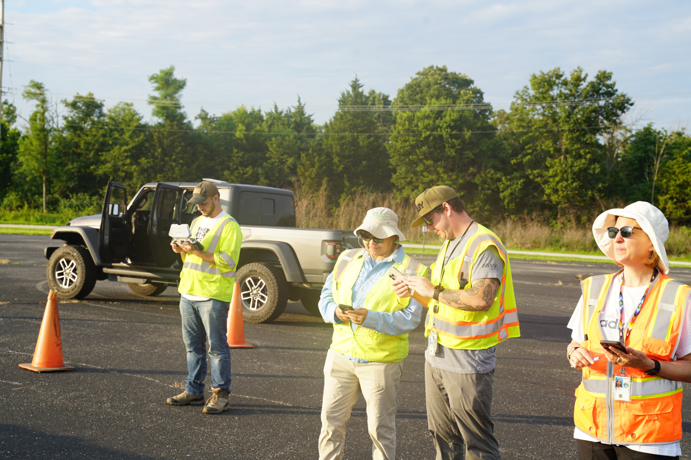
“Our focus in testing this drone technology is to determine how it can improve efficiency and safety as we conduct our Asset Management condition assessment surveys,” said Deb Steckley, aviation program manager. “The drones access areas quicker and safer than a team member and prevent inspectors from having to go onto rooftops or into remote areas, vastly improving inspection thoroughness and safety.”
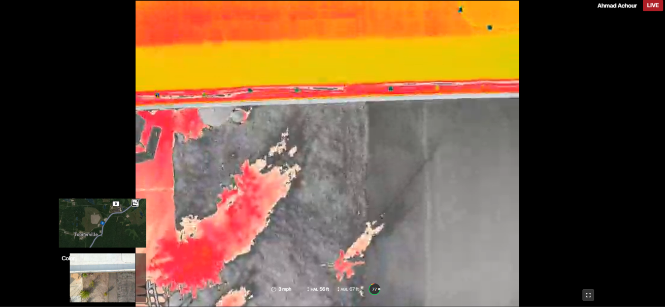
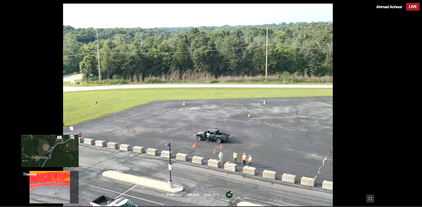
On July 17, 2026, the team arrived at the Weldon Spring Site and began a two-day pilot project to inspect the site and the interpretive center building using a drone fitted with cameras and other technology. Flying several sorties over the course of the project, the drones gave an unparalleled view of assets such as parking lots, rooftops and rooflines, and even provided thermal imaging that identified potential leaks and energy loss.
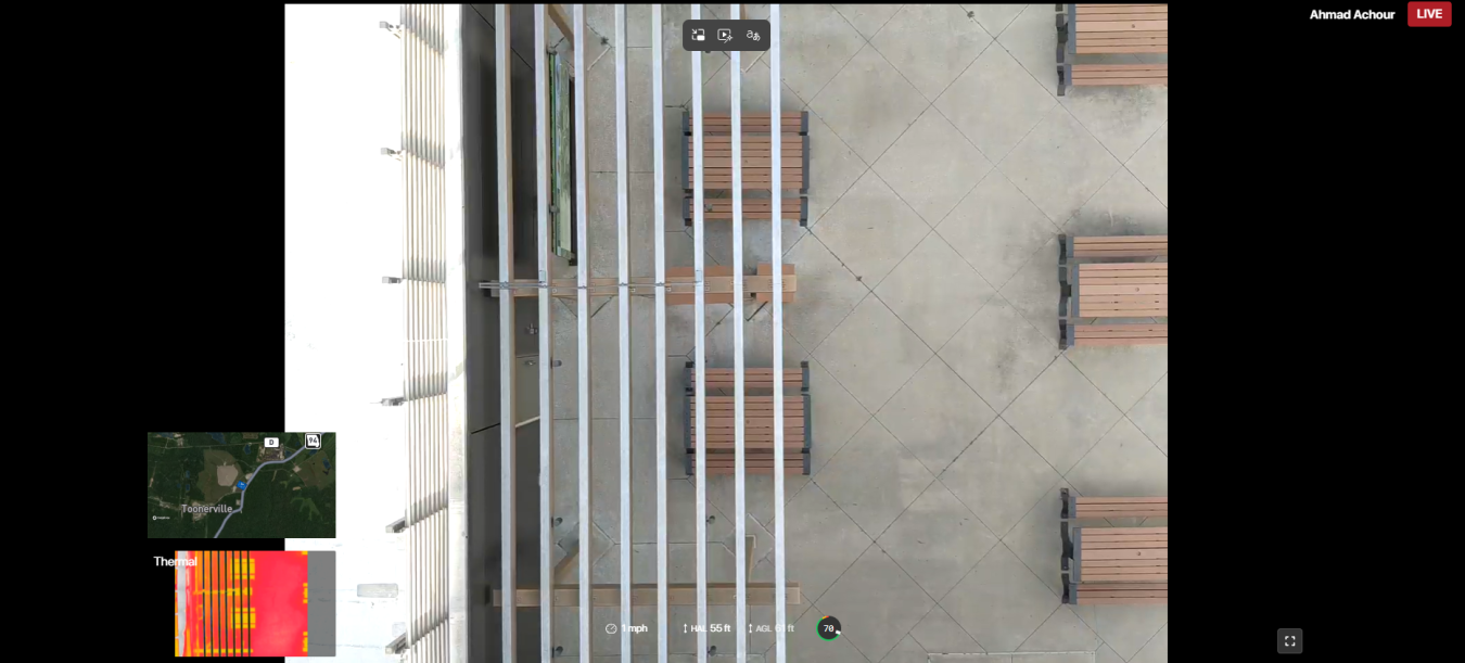
As the drone maneuvered over the Weldon Spring Site Interpretive Center, it took photos of the building at intervals. Steckley explained these photos show areas of the building that could require further inspection and that the images could be turned into a 3D model of the structure.
“This pilot project is a key effort to use technology to safely and efficiently examine our mission critical infrastructure,” Steckley noted, “advancing the long-term surveillance and maintenance work that is critical to protecting human health and ecological well-being of our communities.”