



Murray State University computer science student Cale Tonazzi’s summer internship at the U.S. Department of Energy’s Paducah Site provided a lesson that cannot be taught in classrooms. July 28, 2026
Office of Environmental Management
July 28, 2026 Estimated Read Time min

Intern Cale Tonazzi, right, programs a flight path for a drone while Nick Henley, a communication specialist and drone pilot, completes a checklist. Tonazzi spent the summer at the Paducah Site working with a team of experts on a project to improve imagery for site maps.
PADUCAH, Ky. — Murray State University computer science student Cale Tonazzi’s summer internship at the U.S. Department of Energy’s (DOE) Paducah Site provided a lesson that cannot be taught in classrooms.
Tonazzi, a rising senior, spent his summer with deactivation and remediation contractor Four Rivers Nuclear Partnership, and worked with geographic information system (GIS) experts to create a new, high-resolution site map using advanced drone-to-map software.
Internships across the DOE complex give the next-generation workforce opportunities to gain hands-on experience tackling some of the most intricate and technical challenges while serving as a workforce pipeline for the Office of Environmental Management mission. They also support national efforts to turn liabilities into assets at cleanup sites and beyond.
The mapping process Tonazzi helped configure allows the Paducah Site to update its maps quickly and frequently, avoiding high costs typically associated with acquiring new satellite imagery and flyover scans using 3D imaging technology.
Having highly detailed imagery for site maps improves the tools used to evaluate, plan and coordinate projects in the field as well as siting for future reindustrialization.
“Summer internships really are a mutually beneficial opportunity,” acting Paducah Site lead Steve Clemons said. “Interns are ready to embrace new technologies they learn about in school. At the same time, we reap the rewards of their enthusiasm and high-quality work to advance cleanup.”
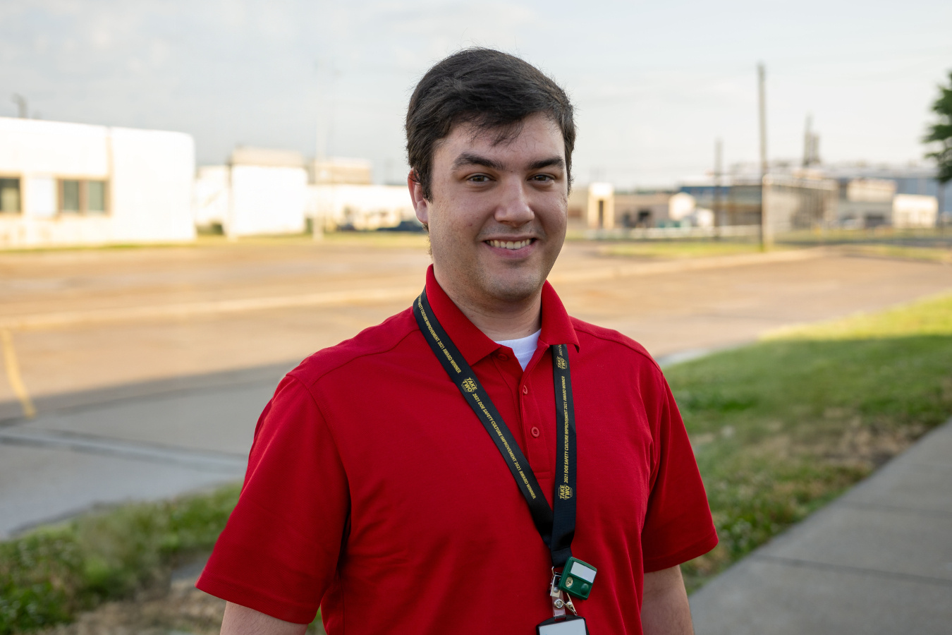
Murray State University computer science student Cale Tonazzi spent 10 weeks interning at the Paducah Site to gain hands-on experience working on projects “they don’t teach you in school,” he said.
Tonazzi worked with the software to reproduce physical features and generate high-quality images of a portion of the footprint of the former Paducah Gaseous Diffusion Plant. The process incorporated high-resolution drone orthophotography, which captures top-down, distortion-free images from all angles.
Compared to traditional satellite imagery, the new drone-based map offers five times more detailed imagery and improves measurement accuracy to the centimeter.
"Learning from the professionals at the Paducah Site has been a great opportunity and something I wouldn't learn in school," said Tonazzi. "It was great working with a team of people who care and are willing to collaborate to deliver high-quality results."
Bringing the high-tech map to life in just a few weeks required numerous coordinated drone flights. Each flight captured approximately 20 gigabytes of photos — equal to roughly 3,000 smartphone photos — to create a single, seamless digital map. The drone used an onboard artificial intelligence processor to enable autonomous, obstacle-free flights and robust data collection for altitude, position and coordinate tracking. This complex operation required a coordinated effort from drone pilots, information technology professionals and GIS specialists.
-Contributor: Dylan Nichols
To receive the latest news and updates about the Office of Environmental Management, submit your e-mail address.