
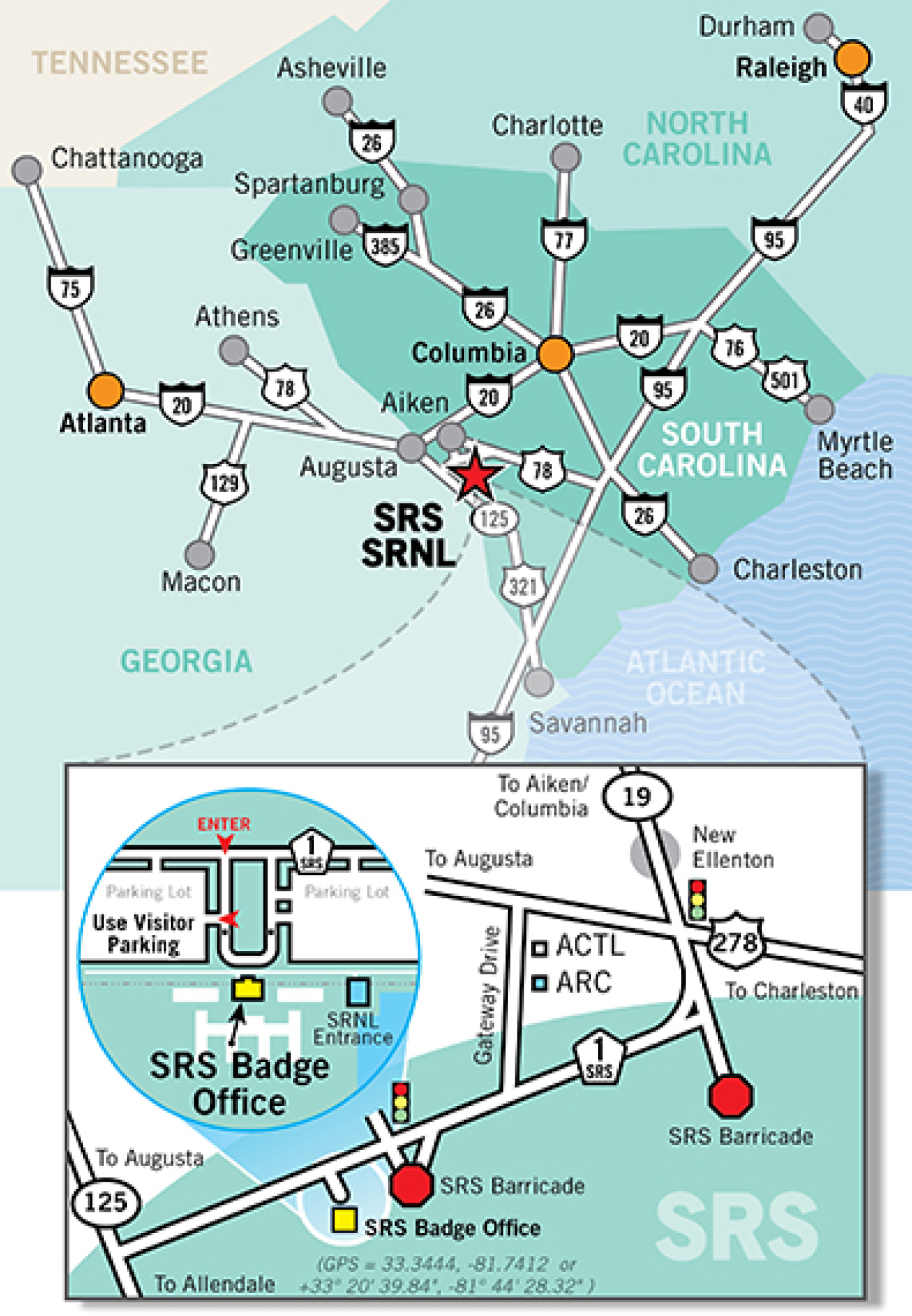
The Savannah River Site (SRS), a 310 square mile (198,046 acres) Department of Energy site, is located in the sand-hills region of South Carolina. It encompasses parts of Aiken, Barnwell and Allendale counties and is bordered on the west by the Savannah River and Georgia. SRS is close to several cities, including Augusta, Georgia and Columbia, South Carolina. It is also within a few hours of Atlanta, Savannah, Charleston, Greenville and Charlotte.
The Savannah River National Laboratory (SRNL) is located on the Savannah River Site.
Getting to SRS
Access to SRS is restricted to badged personnel only. In most cases, a visit to SRS or SRNL starts at the SRS Badge Office - located in Building 703-46A (just off of SRS Road 1). See map to the right.
Directions and Maps
SRS Badge Office Hours
Monday-Friday
6:30 a.m. – 3:00 p.m.
Closed Monday-Friday from 11:15 a.m. - 12:00 p.m.
Closed weekends and holidays.