Background

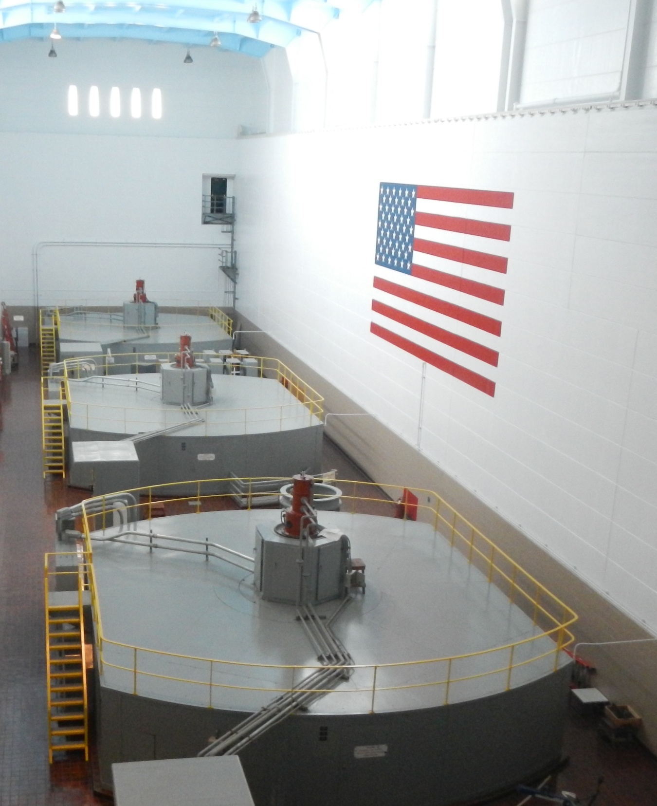
The Jim Woodruff system consists of the Jim Woodruff project located on the Apalachicola River below the confluence of the Chattahoochee and Flint Rivers on the Georgia-Florida State line. The primary purposes of the project are navigation and power. There is a total of 99 miles of navigation channel and 367,300 acre-feet of water storage. The total installed nameplate capacity of the project is 43,000 kW.

