The U.S. Department of Energy's National Nuclear Security Administration (DOE/NNSA) will conduct low-altitude helicopter flights over the Las Vegas valley and its surrounding areas for the remainder of 2025 and into 2026.
National Nuclear Security Administration
June 12, 2025Las Vegas – The U.S. Department of Energy’s National Nuclear Security Administration (DOE/NNSA) will conduct low-altitude helicopter flights over the Las Vegas valley and its surrounding areas for the remainder of 2025 and into 2026.
During these flights, NNSA’s Nuclear Emergency Support Team (NEST) Aerial Measuring System (AMS) aircraft will measure naturally occurring background radiation levels across the valley as part of standard preparations to protect public health and safety. NNSA is making the public aware of the upcoming flights so citizens who see the low-flying aircraft are not alarmed.
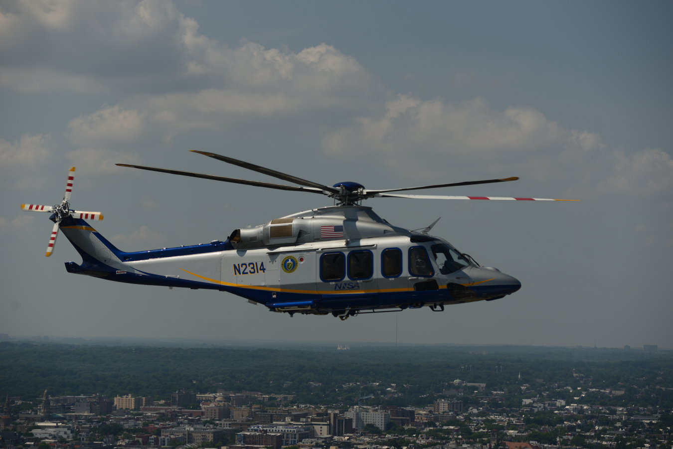
The public may see a Leonardo AW139 helicopter, which is equipped with radiation sensing technology. These aerial radiation assessment surveys are a normal and routine part of security and emergency preparedness activities. The recently acquired AW139s offer an opportunity to create a more detailed baseline map that will strengthen public health and safety and the data collected will allow AMS to create a comprehensive radiological map of the Las Vegas valley.
“AMS pilots and scientists fly frequently for training and to maintain proficiency; collecting real-world background information adds even more value to the flights,” said AMS pilot and aviation manager Mike Toland.
Every year, AMS maps Las Vegas in advance of major security events such as Formula 1’s Las Vegas Grand Prix and its New Year’s Eve celebrations.
Visit our website for more information and video footage of NNSA’s Aerial Measuring System.
NEST is an element of the Nation’s nuclear and radiological emergency response capability.