
At the Hanford Site, weather data drives decisions that keep the workforce safe and healthy through high temperatures.
Office of Environmental Management
November 24, 2020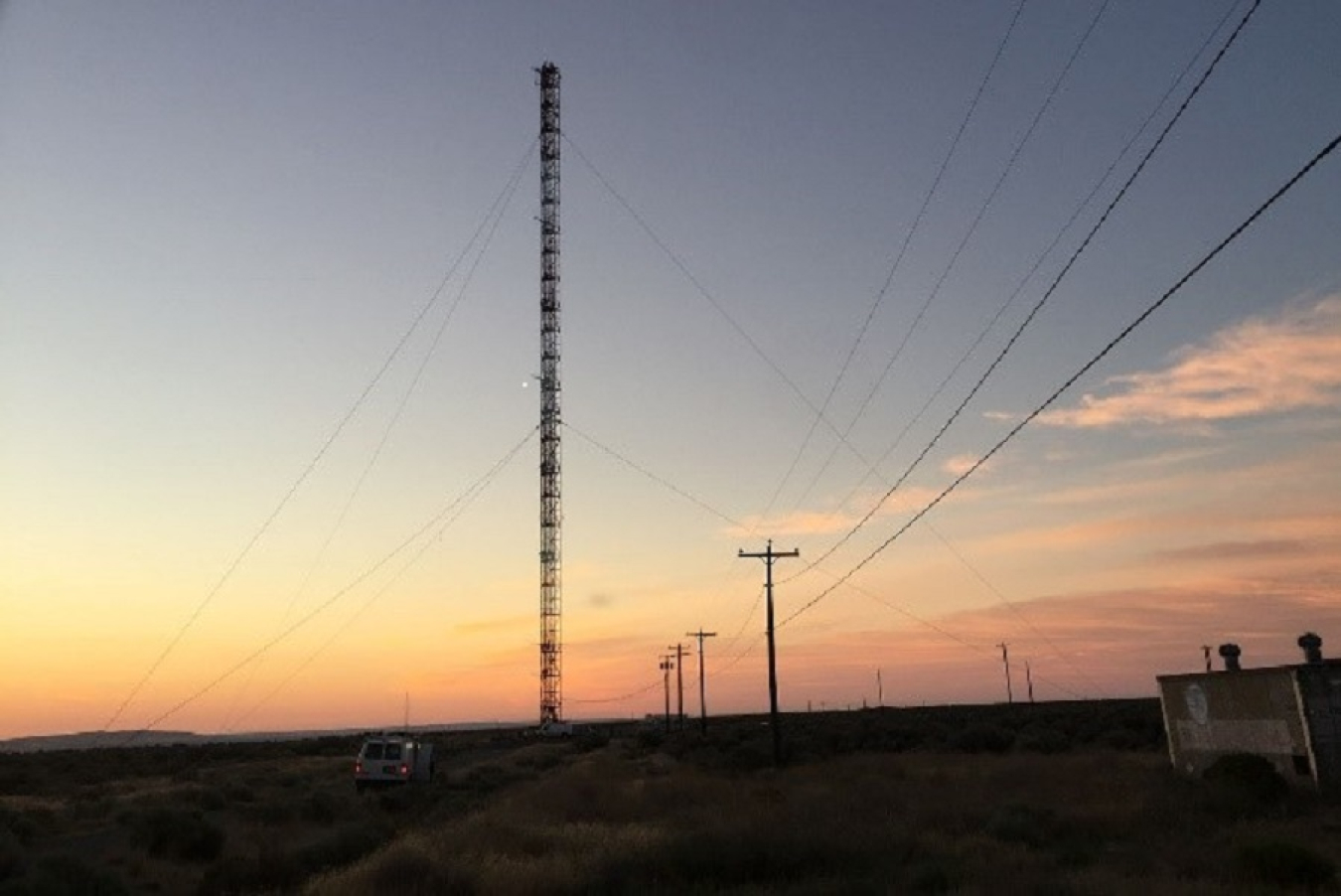
RICHLAND, Wash. – At the Hanford Site, weather data drives decisions that keep the workforce safe and healthy through high temperatures in the desert summer, powerful winds, and freezing rain and snow in the winter. The Hanford Meteorological Station is an invaluable resource for work planners and site leaders.
In operation since 1944 and currently managed by EM Richland Operations Office (RL) contractor Mission Support Alliance, the station receives data from 30 instrument towers on and around the 580-square-mile site. The most recognizable to workers is the 400-foot tower located near the center of the site, which collects meteorological data from sensors at several levels of the structure.
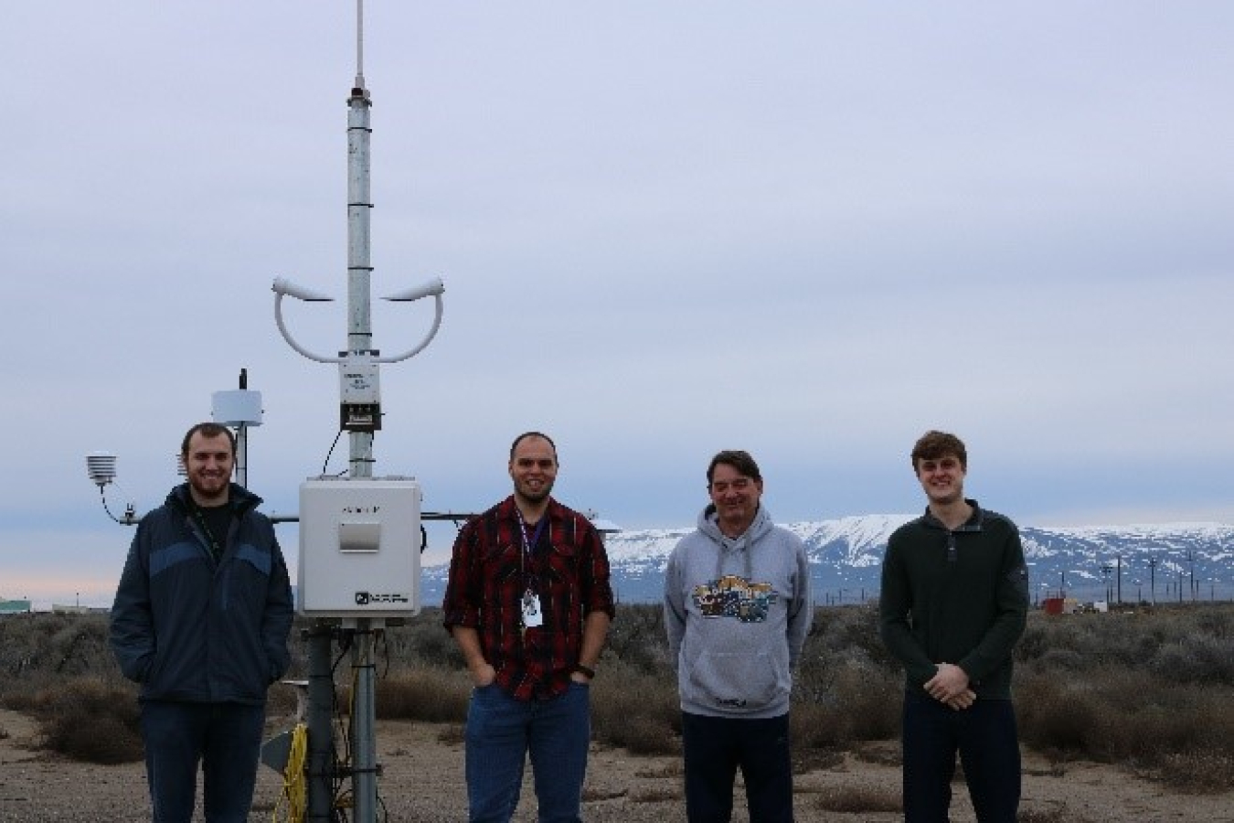
The meteorological team’s toolbox also includes remote sensors, giving them an edge in collecting accurate data across the site for the heat index, winter weather, thunderstorms, and wind speeds. Winds can gust above 40 miles per hour more than 20 days during the year.
“The weather station is a significant aid to our workforce, from keeping them safe in the summer heat or providing advance warnings to weather systems such as extreme wind conditions that could impair personal safety or force the temporary halt of work on the site to protect both the workers and the surrounding communities,” said Kyle Rankin, RL chief engineer. “Having access to this data and forecasters who understand weather patterns is a huge asset to the site.”
Handwritten logs dating back to the beginning of site meteorological operations highlight weather data that helped forecast potential impacts from natural disasters and conveyed personal insights on memorable weather moments. Following the eruption of Mt. Saint Helens on May 18, 1980, a forecaster cited “heavy ash” and wrote “the birds don’t know what to do, and I don’t either” in the weather log.
Using decades of historical data and readings from today’s network of sensors, Hanford meteorologists are able to make accurate forecasts of conditions across the site.
“The weather and telephone logs are an exceptional source of information,” said Perry Perrault, Hanford meteorologist and forecaster. “You’ll find historic information on momentous wind storms, blizzards, dust storms, range fires, and thunderstorms over the decades. This data is important for climatology research and daily analysis of the weather for our Hanford Site contractors.”
Check out real-time data from the station here.