DOE Hosts its First Geospatial Science Poster Competition
Office of the Chief Information Officer
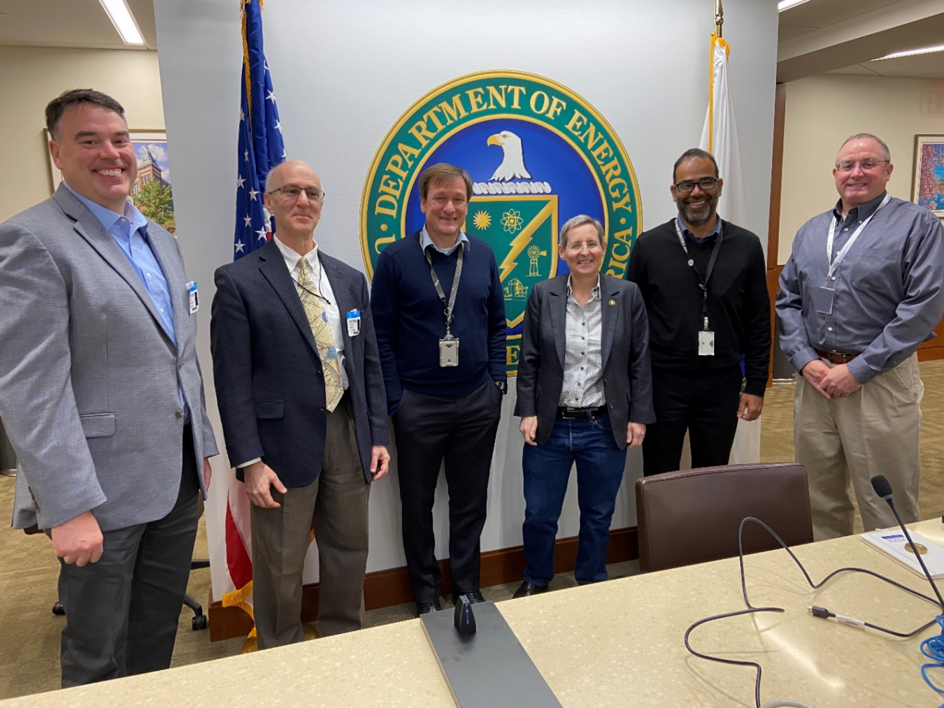
January 18, 2023In celebration of National GIS Day, the DOE Geospatial Science Program hosted a poster competition in DOE's James V. Forrestal building from November 9-16th. Twenty-two posters were entered from DOE national laboratories and program offices across the country. Ann Dunkin (DOE CIO), Joshua Delmonico (Acting FGDC Director), and Harvey Simon (EPA-GIO) evaluated them against the four goals of DOE's Geospatial Science Program:
- Expand and mature DOE geospatial data sources to ensure they are robust, secure, easily accessible, and support a wide range of needs to meet DOE’s mission.
- Promote data sharing to facilitate data discovery, accessibility, use, integrity, and integration.
- Govern and manage geospatial data strategically to ensure accountability, effective development, security, quality, and management of DOE geospatial data resources.
- Expand DOE geospatial leadership, workforce development opportunities, and collaborative geospatial partnerships to meet DOE as well as national needs and priorities.
Geospatial science helps to drive numerous projects and activities across the DOE enterprise by delivering valuable information to decision-makers. It is used to catalyze discovery and provide actionable intelligence to enhance and achieve a wide range of our nation’s energy-related goals. The DOE Geospatial Science Program supports the Department’s geospatial activities, including the development and use of geospatial data, providing structure and leadership to ensure coordinated and effective curation and sharing of data to advance innovation across all DOE mission areas.
To complement the poster competition, daily brown-bag seminars were provided to demonstrate how Departmental elements across DOE integrate geospatial science into everyday workflows to increase efficiency, inform data-driven decisions, and provide intuitive, transparent access to organizational information. Exposure to these implementations is meant to demonstrate the business value of geospatial science and encourage collaboration across DOE. The brown-bag seminars, listed in the schedule below, will provide real-world examples of how geospatial science is being used across DOE.
Congratulations to the winners of DOE's first annual Geospatial Science poster competition!
Best Posters:
- "Creating Foundation Electric Energy Infrastructure Data from Open-Sources" by Nagendra Singh, Eric Schmidt, Darrin Visarraga, Shiloh Elliott
- "Enterprise Geospatial Program" by Kyle Brown, Annette Moore
- "Geospatial Science Powers a Broad Array of Projects at Argonne National Laboratory" by Jim Kuiper, Doug Johnson, Joann Zhou, John Quinn, Eugene Yan, Leah Talaber, Carmella Burdi, Jiali Wang, Joseph Tauer, Michael Dunn, Steve Folga, Yuki Hamada, Konnie Wescott, Jules Cacho, Andrew Ayers
Best Geospatial Science Program: Oak Ridge National Laboratory