
Cities-LEAP Data to Decisions Brochure for Hutchinson MN along with a map showing the locations of LIDAR data.
June 20, 2018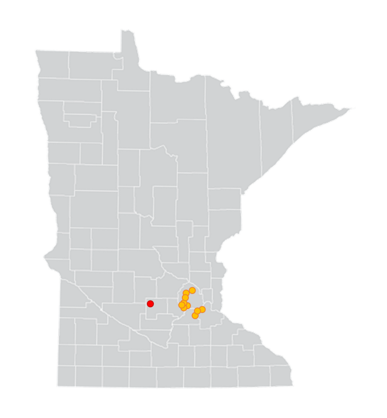
Solar photovoltaic generation potential for Hutchinson, MN (red dot) was derived through analysis of ten nearby zip codes (orange dots) located along the western edge of the lidar coverage for the Twin Cities area, approximately 40 miles away.
This fact sheet "Hutchinson, Minnesota: Evaluating Local Solar Energy Generation Potential" explains how the City of Hutchinson used data from the U.S. Department of Energy's Cities Leading through Energy Analysis and Planning (Cities-LEAP) and the State and Local Energy Data (SLED) programs to inform its city energy planning.
It is one of twelve fact sheets in the "City Energy: From Data to Decisions" series.