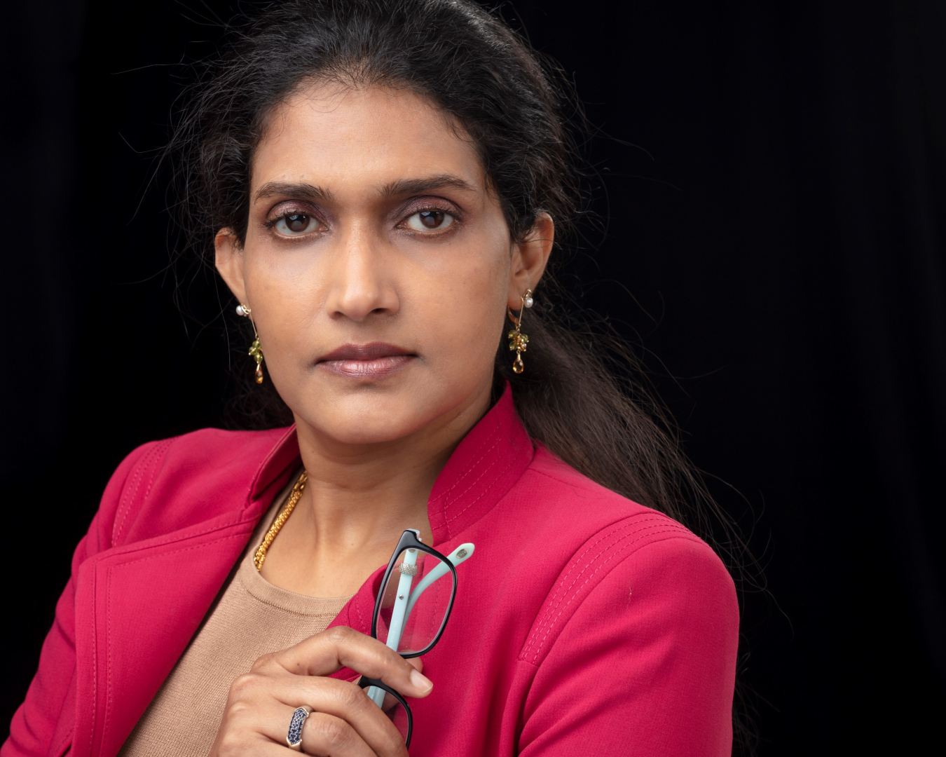
Bandana Kar is an AAAS Science, Technology and Policy Fellow for building decarbonization in the Building Technologies Office. Previously she was a senior scientist and the group lead of the Built Environment Characterization Group in the National Security Sciences Directorate at Oak Ridge National Laboratory (ORNL) (2017-2022), and a tenured associate professor in the Department of Geography and Geology at University of Southern Mississippi (2008-2017).
Her primary research is in energy and urban/community resilience from the perspective of science policy and security. Using geospatial and computational sciences, she develops and deploys risk-informed and process-oriented algorithms and tools that account for human dynamics and extreme events for decision and policy making. Her research has been funded by NSF, DHS, DOE and NASA.
During her tenure at ORNL, she led the DOE-funded project Restoration of Power Outage from Wide-Area Severe Weather Disruptions (RePOWERD) to develop models to forecast and map power restoration time following extreme events. She co-led the projects Situational-Temporal Awareness for Integrated Oil and Natural Gas Systems (STATIONS) to develop supply demand model to determine oil and natural gas availability at the local level during extreme events, and the Energy Infrastructure Damage Identification and Assessment Utilizing Imagery from Earth Observation Satellites and Airborne Systems project to develop and deploy the Wide Area Outage (WAO) algorithm to determine power outage and customers impacted by an extreme event using NOAA VIIRS imagery. The outputs of these projects are incorporated into DOE’s EAGLE-I platform used for tracking power outages during extreme events, such as the Russia invasion of Ukraine, winter storm Uri, tropical storm events and oil supply disruption during Colonial Pipeline Disruption. She also co-led the development and deployment of the Model of Models (MoM) to forecast flood severity globally on a daily basis for flood early warning as part of the NASA funded projects - Advancing Access to Global Flood Modeling and Alerting Using the PDC DisasterAWARE Platform and Remote Sensing Technologies and Global Initiative for Flood Forecasting and Alerting (GIFFT).
She was a recipient of the 2019 Emerging Scholar Award from the American Association of Geographers and was a fellow of the 2009 NSF’s Enabling the Next Generation of Hazards and Disasters Researchers Fellowship Program. She has published more than 50 articles, book chapters and proceeding papers in geospatial, remote sensing, computational science journals. She coedited the book "Risk Communication and Community Resilience," and she is the vice-president of the American Society for Photogrammetry and Remote Sensing, a co-organizer and co-founder of the ACM SIGSPATIAL Workshop - Advances in Resilient and Intelligent Cities (ARIC), and a member of ASCE's Risk and Resilience Measurement Committee.

