LM leverages geospatial tools for long-term stewardship.
July 9, 2020The U.S. Department of Energy (DOE) Office of Legacy Management (LM) promotes the use of geospatial tools in long-term stewardship of LM sites, and in communication with stakeholders about the history and current management of the sites.
Industry leaders in mapping and geographic information systems recently recognized that effort.
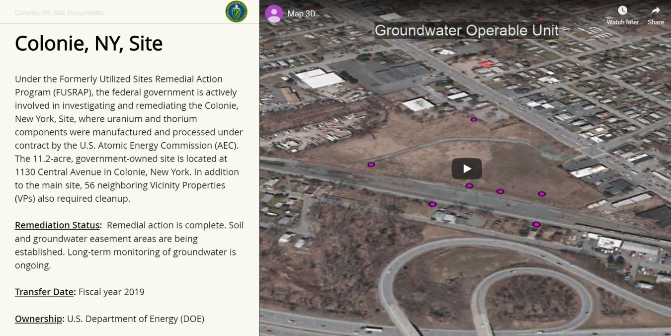
Esri, the company that builds ArcGIS, the world’s leading mapping and spatial analytics software, highlighted the innovative “story map” that the Geospatial Team in the LM Environmental and Spatial Data Management (ESDM) Program built for the Colonie, New York, Site. Esri CEO Jack Dangermond included images from the Colonie Story Map in his plenary session for the Esri Federal GIS Conference in February.
Story maps are interactive tools that combine maps with text, images, and multimedia content to convey a narrative about a topic, such as the history of an LM site or project. They are an effective medium for conveying information to nontechnical audiences in an organized and visually rich, web-based environment.
“Story maps provide stakeholders with accessible insights into the legacy of a site that are only available currently by digging through information found in documents on the site webpage and the Geospatial Environmental Mapping System,” explained Josh Linard, technical data manager for LM. “The story map lets stakeholders interact with the data and understand why the data is important.”
Linard said the recognition at the Esri conference validated the hard work the Geospatial Team has put into the story map project. The conference also provided opportunities to learn about other tools Esri has to offer, which could be useful as the Geospatial Team expands its work to further support LM. The geospatial team is exploring the ArcGIS Operations Dashboard and Hub, in collaboration with the FUSRAP program, to see what those tools might offer. The Geospatial Team is also is also keen to explore the integration of ESRI products with the Asset Management program’s Archibus software. This integration can inform real-time decisions related to asset and facilities management and response to health and safety concerns.
Linard said, “Everyone wins! Stakeholders get intuitive, transparent, and engaging access to their data, LM programs get more efficient workflows, and the geospatial team gets to geek out with different ways to explore data.”