
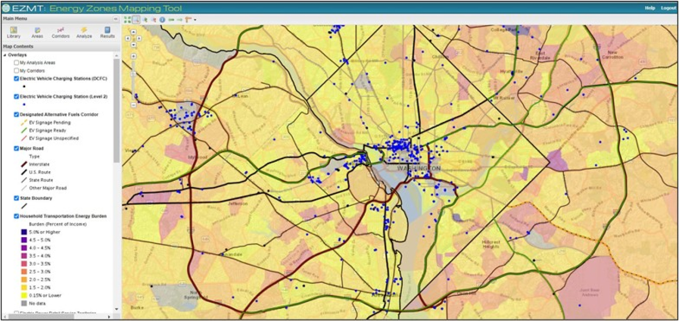
Argonne National Laboratory has expanded the Energy Zones Mapping Tool< (EZMT) to support electric vehicle service equipment (EVSE) planning, with an emphasis on equity. Those wanting to plan for new EVSE can use the EZMT to look at criteria such as
- Density of existing EVSE stations
- Proximity to designated alternative fuel corridor
- Annual average vehicle traffic
- Distance to mass-transit hubs
- Household transportation energy burden
- Percent low-income
- Percent minority
- Population density.
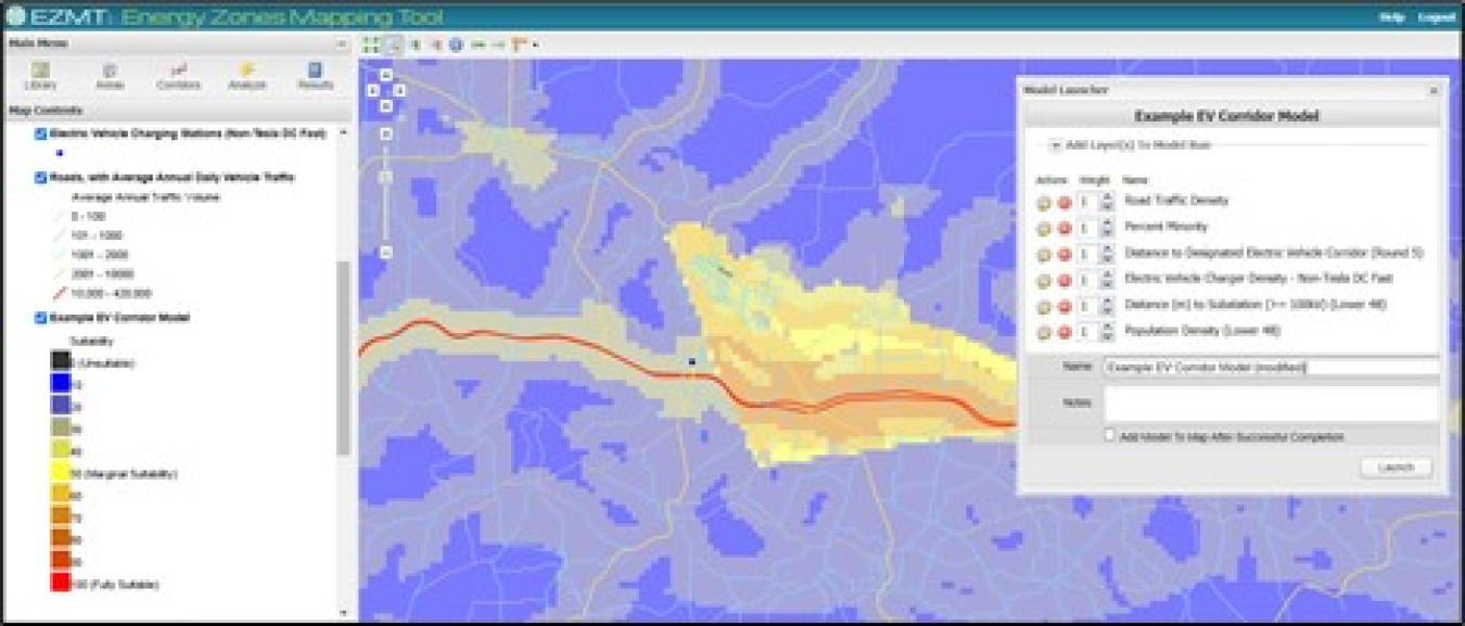
EZMT users can generate “heat maps” showing areas that meet combinations of 110 individual criteria. Most criteria are available for the contiguous 48 states and results are generated at a 250-meter level of detail.
Note: The Energy Zones Mapping Tool was developed through a collaboration between Argonne National Laboratory, Oak Ridge National Laboratory, and the National Renewable Energy Laboratory, and funded by the U.S. Department of Energy's Office of Electricity.
Source: U.S. Department of Energy, Office of Electricity, Energy Zones Mapping Tool